Bhuj Fm
Type Locality and Naming
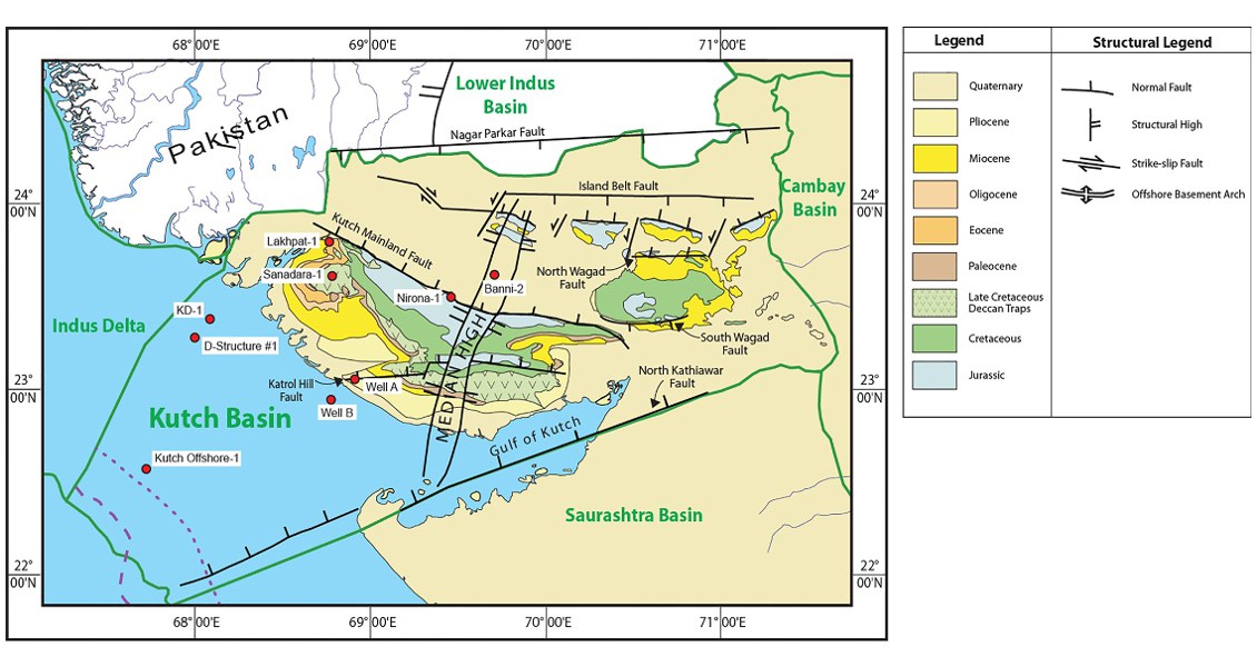
Outcrops around Bhuj town, typical section near Rukhmavati river near Jamthara, The Ukra beds forming the lower part of the formation are best developed in western Kutch near Ghuneri to Ukra Hill. [Biswas, 1977]. Also subsurface.
[Fig. Geological and structural map of Kutch, also showing the onshore and offshore wells drilled for oil exploration. (Map by Rasoul Sorkhabi in GeoExpro Dec2014, based on various sources including S.K. Biswas, Current Science, 25May2005)]
Lithology and Thickness
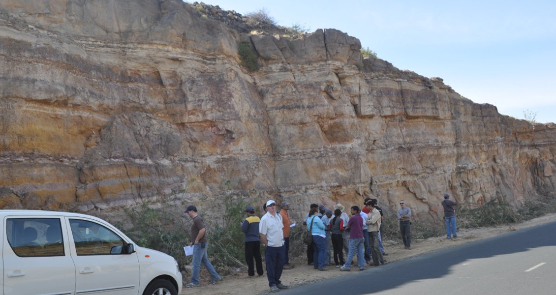
Sandstone. The formation primarily comprises of felspathic, friable, brown ferruginous sandstone. In the lower part it is brown and reddish brown with the rhythmic alternations of kaolinitic shale and thin ironstone bands. The shales are occasionally carbonaceous and contain plant fossils. In western Kutch, tongues of marine beds within the Ukra beds have been observed. 363 m to 800 m thick in the type area. In Subsurface thickness varies from 805 m or 848 m in wells Sanadra-1 and Suthri-1 respectively.
[Fig. Cretaceous Bhuj Formation, mainly sandstone with some shale and conglomerate, is a typical sight in the Bhuj city’s road cuts. (Source: Rasoul Sorkhabi in GeoExpro Dec2014)]
Relationships and Distribution
Lower contact
Gradational with Jhuran Fm and defined by the boundary between marine and non-marine.
Upper contact
Disconformable with overlying Deccan Traps Fm. In offshore wells the conformable upper boundary is marked by the calcareous fossiliferous marl and limestone of Naliya Fm.
Regional extent
GeoJSON
Fossils
Ptylophyllum sp. Fossils wood, Ammonites, Lamellibranches, Gastropods, Trigonia sp
Age
Depositional setting
Fluviatile to deltaic environment except for a few tongues of marine incursions
Additional Information

